Working with Polygons in Auravant Made Easier with Turf.js
· 5 min read

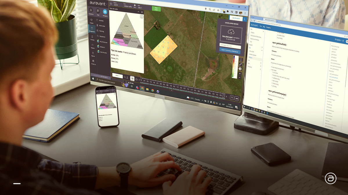
Were you facing polygon challenges in Auravant development? Keep reading for a solution!
Were you facing polygon challenges in Auravant development? Keep reading for a solution!

When our App contains lists or tables with a large number of elements, the performance will be affected due to loading all these elements into the DOM. Virtualization is a technique to improve the performance of WebApps that need to display large volumes of data, either in the form of lists or tables. The logic of Virtualization consists of rendering only the elements that are currently in the user's viewport. This serves to improve the initial load of the App, resulting in a better UX.

Hey there! In the software development realm, it's not just about getting things to work; it's about getting them to work in a slicker and smarter way. So, have you ever come across "Clean Code"? If not, you're about to discover something truly valuable.
Have you ever found yourself needing to convert GPX (GPS Exchange Format) files to GeoJSON in your map and geolocation projects? If so, we at Auravant show you a solution we use to make this task simple and fast.

Mobile first is a design system that has become very popular lately. It is a system where the design of applications is prioritized for mobile devices, and once the design for mobile is available, we proceed to add functionalities for web (or desktop) format, where we have much more room.
Why is it important to use this design system (or even mobile only) when designing our extensions? In this article I'll explain it.
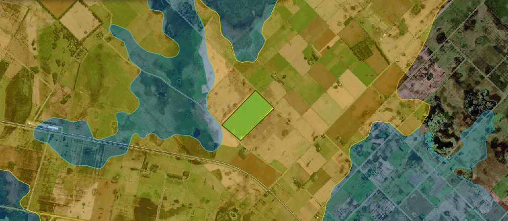
When working with maps and geographic spaces in software development, it is very common to come across different EPSG coordinate references. EPSG:3857 and EPSG:4326 are are two of the most used ones.
In some cases, it is necessary to switch from one to the other so that the project to be developed is consistent with the rest of the project or compatible with the platform on which we are developing.

I imagine you became an Auravant developer and immediatly started some brilliant project. Then you spent a little while going around to know how to face the extension.
"Where do I have to get the information I want?" and "What do I have to use to interact with the platform?" might be both examples of what you asked yourself.
In this guide I tell you what your starting point can be.

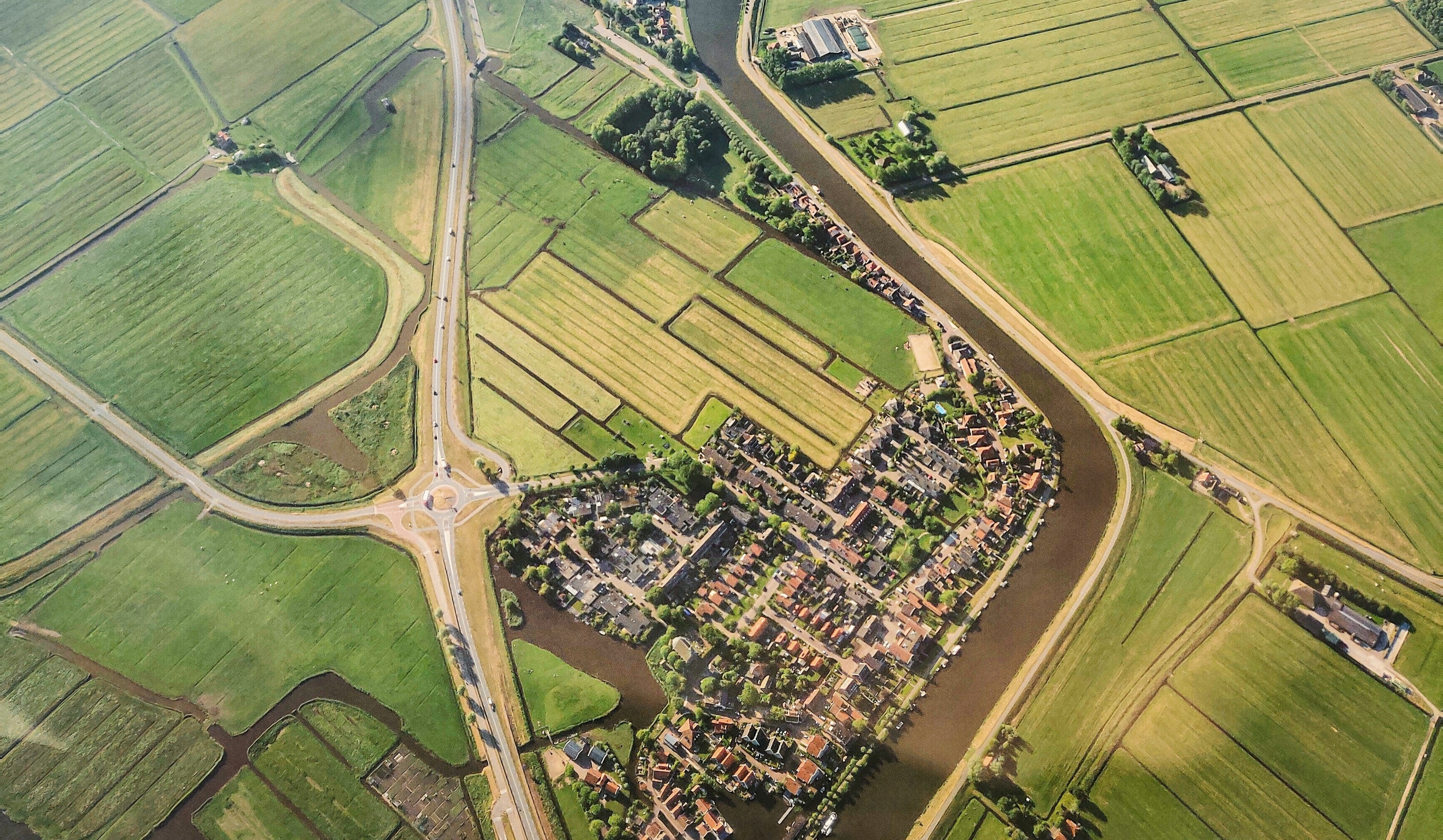
The first thing you see when visiting Auravant platform is a map, then drawn fields and layers drawn into it. But, what we need to know and understand about those elements?